- Overall Rating: 1
- Location: Godstone, Surrey.
- OS Explorer Map 146, 'Dorking, Box Hill, & Reigate'.
- Starting OS Grid Reference: TQ350541
- Starting GPS Co-ordinates: N51 27' 00" W000 06' 70"
- Finishing OS Grid Reference: TQ351531
- Finishing GPS Co-ordinates: N51 26' 10" W000 06' 50"
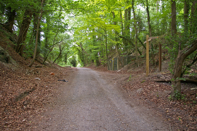
- To see: course of Roman Road, Pilgrim Fort, Quarry Hill Vineyard.
- ALWAYS follow the Greenlane Code!
A Napoleonic hill fort called Pilgrim Fort, similar to those on Box Hill and above Reigate, can be found over the A22, and for those interested in viticulture Quarry Hill Vineyard lies just to the east of the greenlane.
View Quarry Lane in a larger map
No comments:
Post a Comment
Please keep it clean!
Note: only a member of this blog may post a comment.