- Overall Rating: 0
- Location: Westcott, Surrey.
- OS Explorer Map 146, 'Dorking, Box Hill & Reigate, Leatherhead & Caterham.'
- Starting OS Grid Reference: TQ132495
- Starting GPS Co-ordinates: N51 14' 02.48" W000 22' 47.51"
- Finishing OS Grid Reference: TQ132504
- Finishing GPS Co-ordinates: N51 14' 30.41" W000 22' 45.75"
- To see: Ranmore Common.
- ALWAYS follow the Greenlane Code!
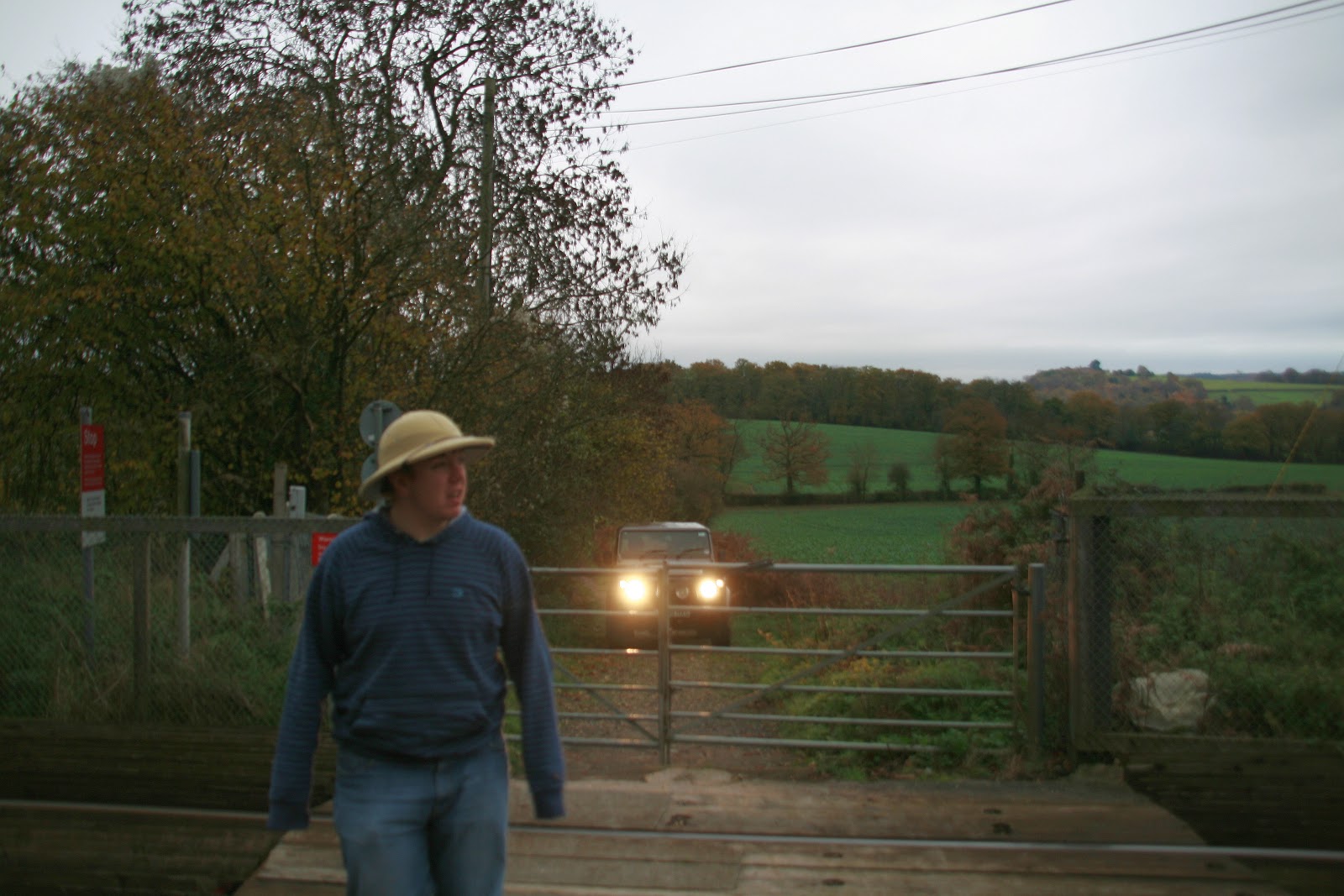
This BOAT, subject to a TRO (but not signed as such) is, regardless, way too narrow to get a car down. Indeed, it is little wider than a footpath and therefore should be reclassified as such. Which is a shame as it has the added interest of crossing the Redhill-Guildford railway (see Marc scouting the route ahead of Prometheus, right) and has some wonderful views across southern Surrey from the top of
Ranmore Common at it's northern end. If it had been better kept, this would be a really nice, if short, lane. Unfortunately though, this is one to avoid.
2 comments:
Hole Hill Lane continues up to Ranmore Common Road as a BOAT, but is subject to a 'no motor vehicles' TRO (not sure where the TRO begins: probably at the level crossing).
The TRO, like the BOAT itself, does indeed begin at the level crossing. Thanks for bringing it to my attention.
Technically, south of the level crossing the lane is classed as a normal country road, even though it is mostly unmetalled. I have included it on this site merely for reference.
Post a Comment
Please keep it clean!
Note: only a member of this blog may post a comment.